October was about proof and clarity.
We added GPS tagging to evidence photos — prove exactly where you took them. We improved map colours so you can see your farm data at a glance. And we made subsidy-parcel links editable, so you can fix mistakes without starting over.
Here's what we shipped in October.
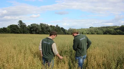
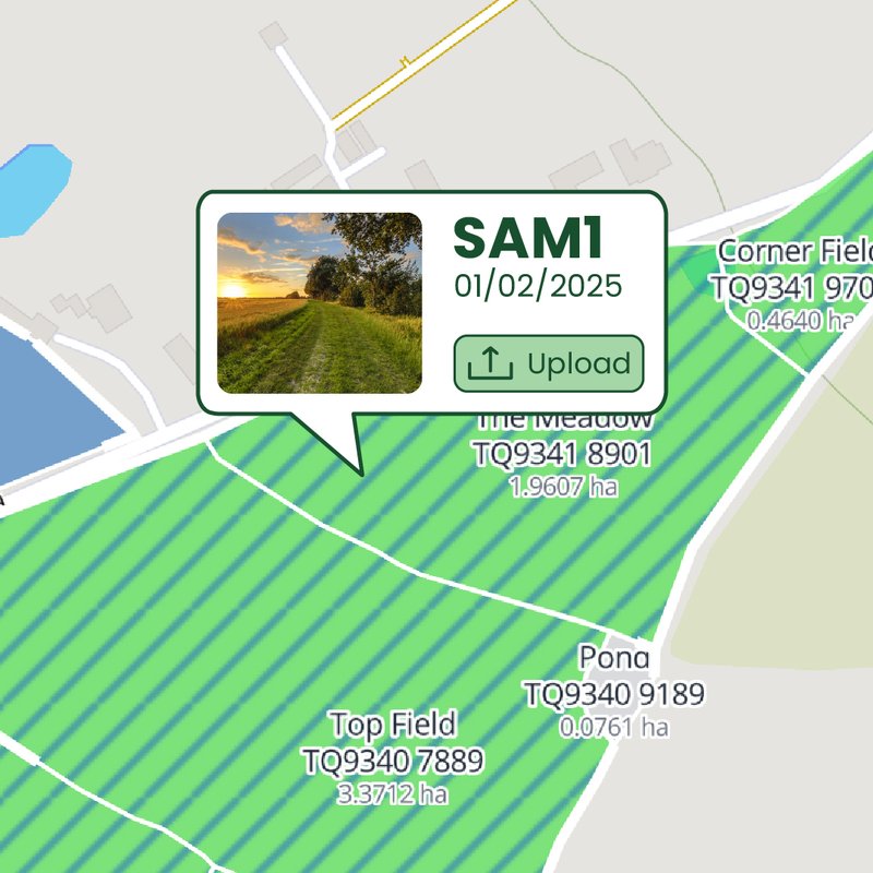
📍 GPS Location on Evidence
What it does
Optionally capture GPS coordinates when uploading evidence photos. The location metadata is stored with your evidence, proving where the photo was taken.
Why it matters for farmers
Inspectors increasingly want proof that evidence was captured in the right place. "Show me you took this photo in that field." GPS metadata provides that proof automatically.
Why it matters for agents
When reviewing client evidence, GPS data gives you confidence it's genuine. Location-tagged photos are harder to dispute.
The benefit
Evidence that proves where you were.
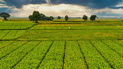
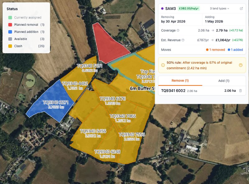
🎨 Improved Map Colours
What it does
Better colour coding on farm maps. Different land types, different actions, different statuses — all visually distinct at a glance.
Why it matters
When you have dozens of parcels with different SFI actions, squinting at similar shades doesn't work. Clear colour distinction means you can scan your map and understand your position instantly.
The benefit
See your farm data more clearly.
📝 Edit Subsidy-Parcel Links
What it does
Edit which parcels are linked to which subsidies directly in the app. Made a mistake? Fix it yourself without re-uploading your agreement.
Why it matters for farmers
Agreement parsing isn't perfect. Sometimes a parcel ends up linked to the wrong subsidy. Now you can correct it in seconds instead of contacting support.
Why it matters for agents
When onboarding clients, you can tidy up parcel assignments as you review. Quick fixes, no friction.
The benefit
Fix parcel assignments yourself.
What's Coming Next
November will bring new features for planning and compliance tracking. Got feedback? Reach out at contact@justfarm.app.